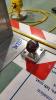
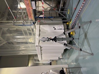
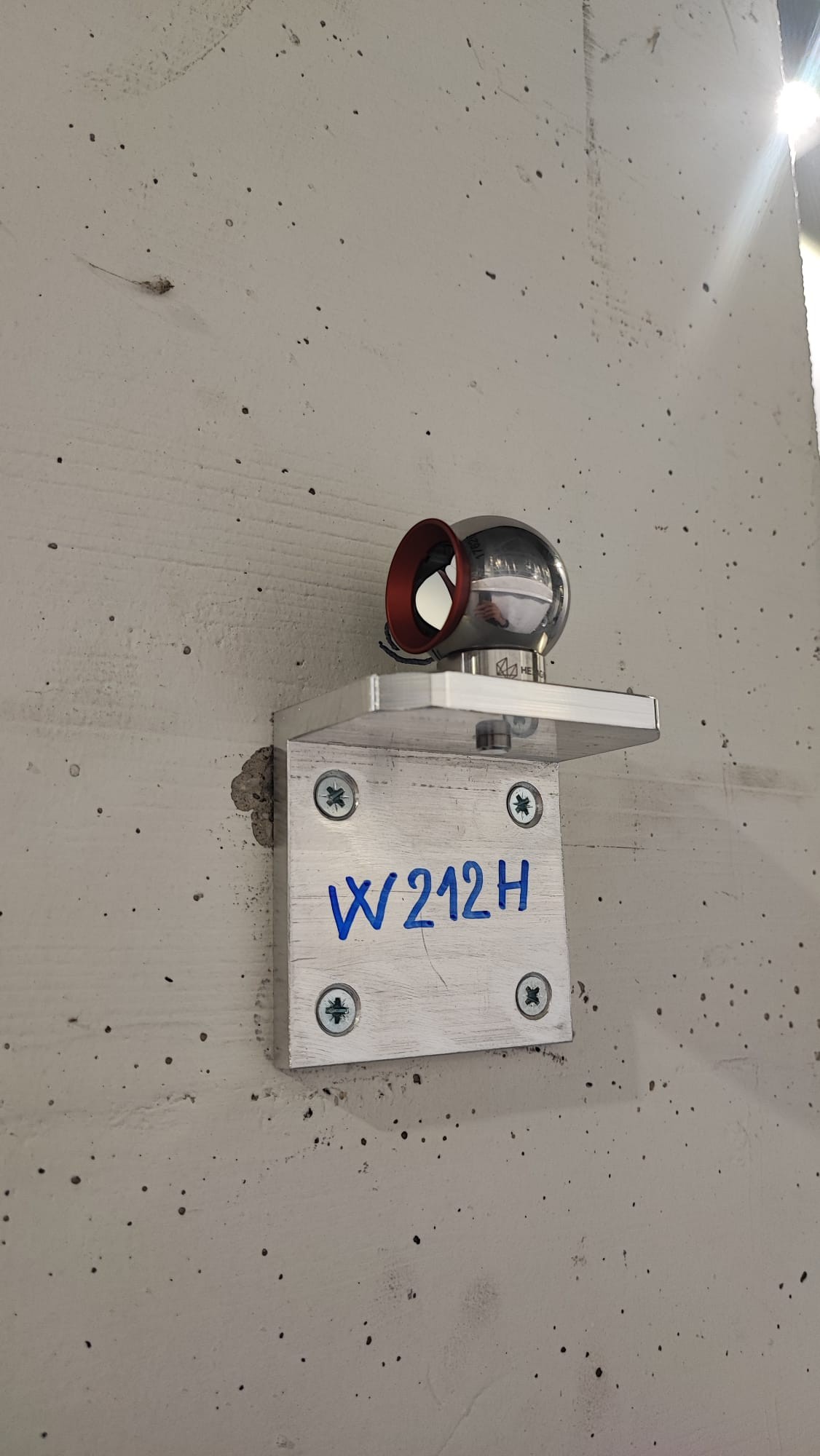
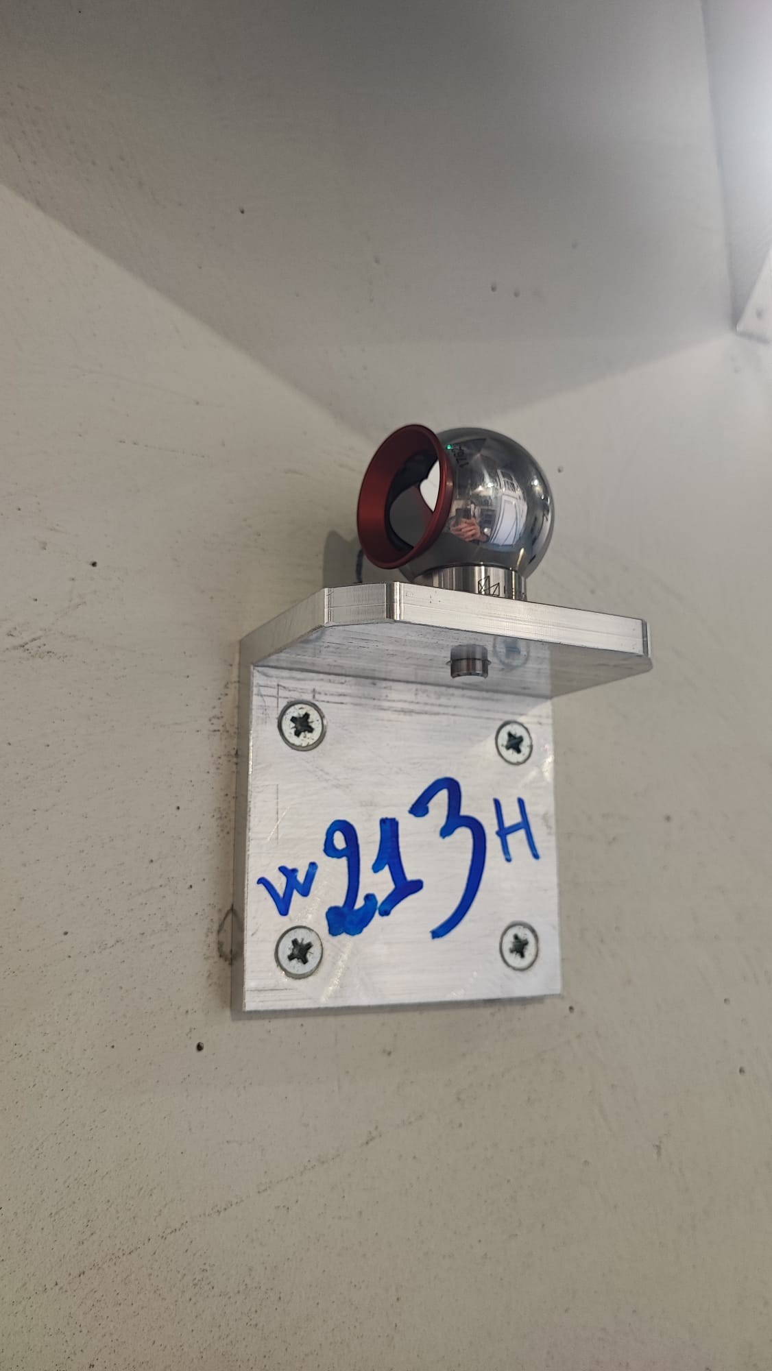
Following the installation of the new reference points @WE building (placed on the concrete walls of the building and on the tower floor), last Feb24 it has been carried out the survey with the laser tracker Leica AT403 in order to estabilish the new coordinates of the reference points.
We performed 3 different measures for each of the 5 station in total, at different positions in the building. Each measure has been processed with the Best Fit technique.
Tab1 summarizes the result of the survey in VRS coordinates, while Fig.7 reports the scheme of the survey for one of the stations (S05).
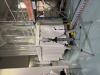
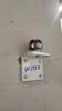
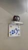
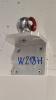
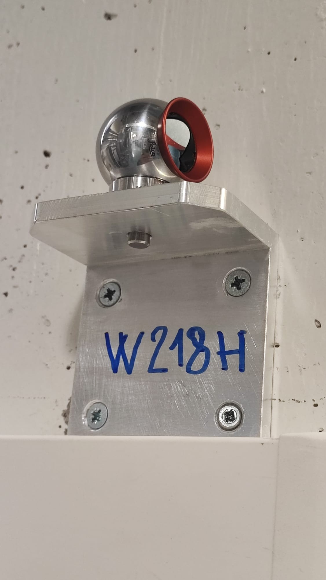
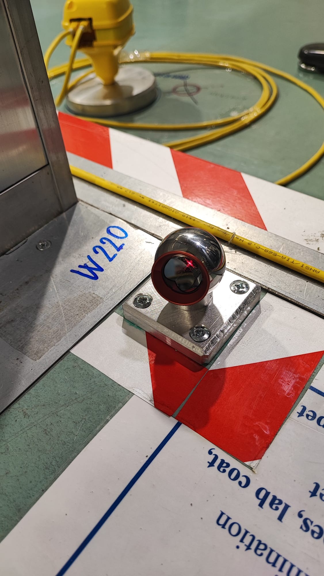
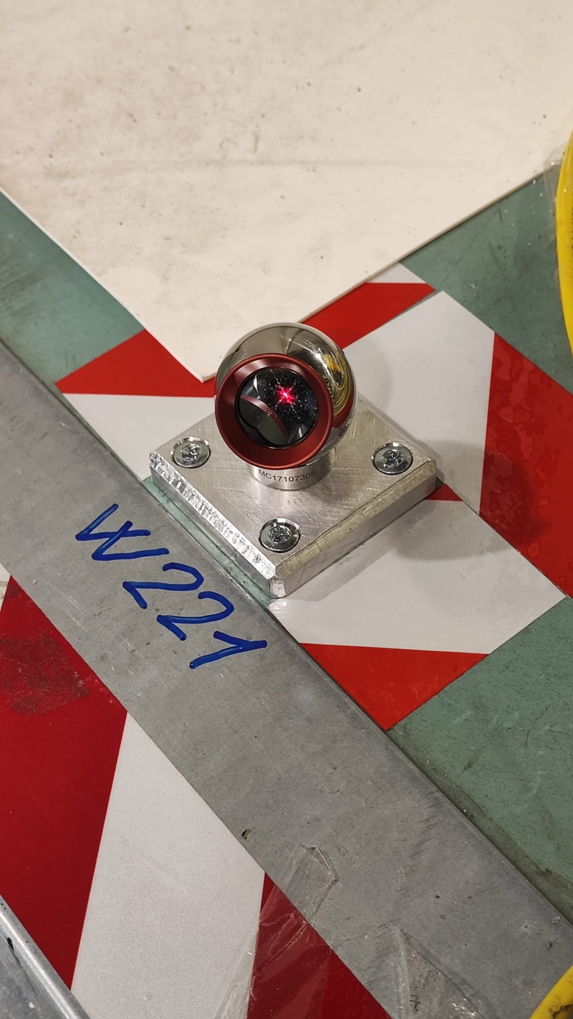
Fig.1 to 6 shown the pictures of the survey carried out and some of the new reference points.
